
Trace a Boulder Street by Address
A useful Boulder street directory search starts with one known address and expands in controlled steps. The county assessor and GIS viewer locate the parcel and its recorded owner. The Clerk and Recorder then supplies the instrument trail. A voter match can add registration context, while a directory or newspaper can place a household at the address in an earlier year. None of these records alone proves that every person at a property is a current resident. Keep the exact spelling, account number, parcel number, dates, and source type in separate notes so a mailing address is not mistaken for a physical address.
- Standardize the address and save the city, county, ZIP, and unit wording. Compare the USPS form with the situs or property address shown by the parcel map.
- Run the address, street name, or owner name in Boulder County Property Search. Save the account, parcel, subdivision, legal-description summary, owner, mailing address, and tax year.
- Open the county GIS map and click the selected parcel and nearby parcels. A line, rectangle, polygon, or circle can collect a street segment, but each result still needs manual review.
- Move to Boulder Official Record Search with the owner, subdivision, parcel clues, or legal description. Read the grantor, grantee, document type, Reception Number, Book, Page, and recorded date.
- Use GoVote only for a person-specific registration check, then use Carnegie Local History, newspapers, census material, or a reverse directory for dated household evidence.
The final chain should read address to parcel, parcel to recorded owner, owner to instrument, and dated source to historical occupant. A street directory is strongest when each link keeps its own date and custodian.
Boulder Street Directory Records
Address-keyed records in Boulder answer different parts of the same question. The assessor points to a parcel and a current tax record. GIS adds boundaries and public layers. A deed names parties to an instrument. City permit and code systems add a property timeline. A street directory, voter record, or obituary may connect a person to an address, but each has a different date and limit.
| Address-Keyed Source | Keeper | Useful Evidence | Access and Caution |
|---|---|---|---|
| Assessor parcel card | Boulder County Assessor | Owner, mailing and situs address, account, parcel, tax year, values, buildings, subdivision | Public portal and CSV; owner is not a full household roster |
| County GIS map | County GIS | Parcel boundary, adjacent parcels, zoning, floodplain, precinct, emergency and other layers | Public map, draw, click, print, and export tools; layer dates vary |
| City parcel map | City of Boulder eMapLink | City parcel popup, Property Report, Enforcement Summary, and city layers | Public address route; city scope does not replace county title records |
| Recorded deed or transfer | Clerk and Recorder | Grantor, grantee, legal description, Reception Number, Book, Page, date, consideration, image, references | PublicSearch index and watermarked view; coverage gaps require a custodian check |
| Deed of trust, lien, easement, covenant, or plat | Clerk and Recorder | Recorded relationship, land geometry, shared rights, and instrument parties | Document-type and legal-description searches; not a current-person list |
| Permit, plan, inspection, or license | City Planning and Development Services | Address, category, description, status, or project chronology where public | Guest search is available; document scope varies by record |
| Code concern | City Code Enforcement | Recent address-linked concern or enforcement summary | Only the prior 24 months; may include an adjacent right-of-way |
| Voter registration | Colorado Secretary of State and Boulder Elections | One registration match and selected public fields | GoVote is one-person; bulk products have exclusions and request rules |
| Directory or reverse volume | Carnegie Local History | Dated name, street address, occupation, household notation, or reverse entry | Digital indexes and shelf material; years and publishers are not complete |
The street is a useful organizing key, but it is not the index key for every record. Parcel and legal-description terms often work better than a street name in the deed portal. For a whole-street sweep, collect each parcel first, then review each parcel's record trail rather than merging names into one list. That is the difference between a dated Boulder street directory result and an unsupported roster.
- Parcel
- A mapped land unit with an assessor account and parcel identifier. A parcel can contain a house, unit, outbuilding, or other account type.
- Situs address
- The physical property or building location used for mapping and many city records. It can differ from the owner's mailing address.
- Plat
- A recorded map that shows lot, block, subdivision, road, or boundary relationships. The deed or title instrument controls the full legal description.
- Criss-cross directory
- A reverse directory arranged by address or street, rather than only by a person's name. It can offer a dated occupant clue when a local volume includes that section.
These definitions keep a Boulder street directory from flattening title, geography, and residence into one unsupported conclusion.
Boulder Assessor Fields for a Street Sweep
The Boulder County Assessor Property Search is the main address-to-parcel starting point. It accepts address, owner name, street name, subdivision, account, parcel, and S-T-R searches. The portal can return multiple records for units or related accounts, so account type and parcel number matter before a street result is counted.
The Boulder County Assessor data-download catalog shows the owner and address export route used alongside the public map.
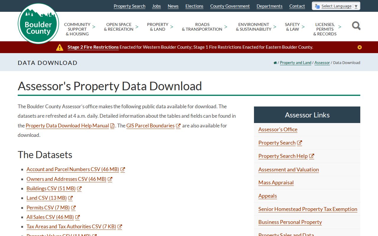
The export catalog is useful for a first pass across many parcels, while the parcel report remains the better check for one address. County data refreshes around 4:00 a.m. daily and carries a no-warranty warning. CSV exports may duplicate owner names or addresses, so deduplicate by parcel and verify the Boulder street directory result against the portal.
| Field Label | Type | Required | Options or Format Notes |
|---|---|---|---|
| Address | Text | No | Enter a street address; multiple records or units may return |
| Owner Name | Text | No | Try exact variants, trust names, and entity names |
| Street Name | Text | No | Useful for a whole-street sweep |
| Subdivision | Text or dropdown | No | Subdivision filter where available |
| Account | Text | No | Account prefixes include P, M, R, and U |
| Parcel | Text | No | Parcel number search |
| S-T-R | Text | No | Section-Township-Range, for example 5-2N-69W, with no leading zero |
| Draw Tool | Map control | No | Polygon, Rectangle, Circle, or Line selects intersecting parcels |
| Coordinate | Text or dropdown | No | State Plane Feet, Decimal Degrees, DMS, DD Minutes, or UTM |
| Basemap | Dropdown | No | County imagery and oblique years or angles; parcel selection does not work on oblique imagery |
| Print Report or Print All Reports | Button | Not applicable | Print one section or all selected reports |
| CSV Export | Button or popup | Not applicable | Duplicate owner names and addresses are possible |
Assessor access also includes the public counter at 1325 Pearl Street, second floor, phone 303-441-3530, email, and weekday service from 7:30 to 5:00 Monday through Thursday. A mailing address can point to a trustee, representative, PO Box, or another city. Save it separately from the situs address.
Browse Boulder Blocks in County GIS
County GIS turns an address into a map problem. Enter an address or parcel, confirm the selected account and situs, then click nearby parcels one at a time. The documented layers include parcels, zoning, floodplain, precincts, open space, emergency and public-safety information, public health, roads, snow, and wildfire. They add geography around a street, not a list of everyone who may be inside a building.
The Boulder County GIS resource explains the public map and data context behind the street-level parcel view.
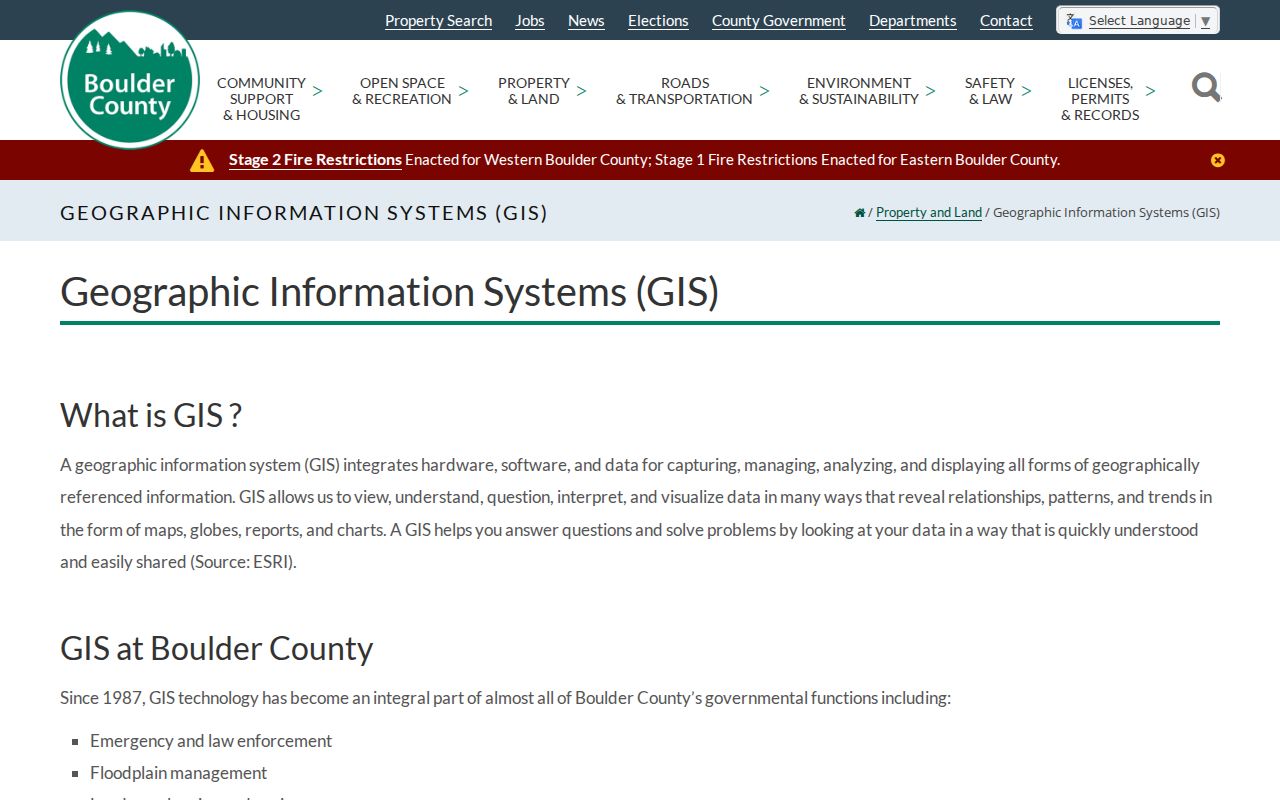
The county map is most useful when a street crosses subdivisions, precincts, ZIP codes, or the city line. Use the draw tools to select intersecting parcels, print reports, or export a first-pass set, then inspect every parcel independently. Layer dates and attribute detail vary, so an apparent gap may reflect the map layer rather than a missing property.
City and county maps answer different jurisdiction questions. County GIS is the broad parcel and land layer. City tools add municipal zoning, historic, development, and enforcement context. A parcel boundary should be checked before a street name is treated as a city-only boundary.
Boulder eMapLink and City Address Layers
For an address inside or near the City of Boulder, eMapLink supplies a second map path. Search the address, select the parcel popup, and open the Property Report or Enforcement Summary. The returned fields can include account, parcel, owner, subdivision, and city map layers. The city view is a municipal cross-check, not a replacement for the county assessor or the Clerk and Recorder.
The City of Boulder eMapLink image below shows the address-to-parcel route used for a city street record.
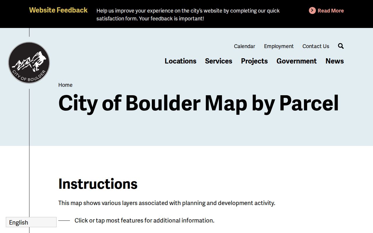
EnerGov CSS is the companion city search for public address records. Its guest Records Search offers report types All, Permit, Plan, Inspection, and License. Sensitive case information may require a login. City maps and CSS can show the timing or category of a project without proving who lived at the address.
When an online city record is absent, Central Records accepts email, paper, and archive requests. The city states three working days excluding the receipt day, with a possible seven-working-day extension. After the first hour, research and retrieval fees can apply. Department custody is split, so a Police, Fire, Planning, or court record may need to go to that department rather than the central desk.
Boulder Deeds and the Grantor-Grantee Trail
A parcel owner is a starting clue. The Boulder County Clerk and Recorder supplies the recorded instrument trail that can move backward through a property. Search the current owner as Grantee for a purchase deed, then search the seller as the next Grantee. Search by subdivision, lot or block clues, legal description, and document type when a name is misspelled or abbreviated.
The Boulder Official Record Search quick index and its advanced search expose party names, Grantor, Grantee, recorded date, document type, legal description, Reception Number, Book, Page, and OCR or full-document text options.
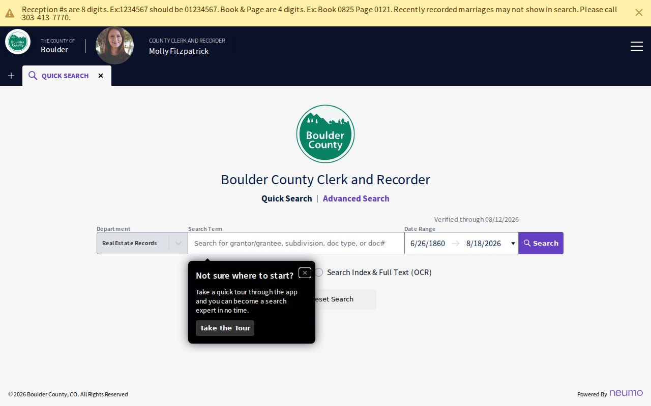
A visible result can include Grantor, Grantee, Document Type, Legal Description, Consideration, Document Status, References, Recorded Date, Reception Number, Book, Page, and page count. The watermarked view or download is available through the public search. Certified or non-watermarked copies follow the county copy route and may carry a fee.
The live quick page inspected on August 18, 2026 displayed a recorded range from June 26, 1860 through August 18, 2026 and a verification notice around August 12, 2026. That display can move and is not a guarantee that every book, image, or pre-1860 instrument is indexed. The office counter is at 1750 33rd Street, Suite 201, with phone 303-413-7770, email, and Monday through Thursday hours from 7:30 to 5:00. Copies can be requested online, by phone, or by mail with a name, document type, Reception Number or party search, copy type, payment, and postage. The county CORA route is the fallback for other county-held public records, not a promise of a complete deed image.
Follow the seller backward, but do not turn a deed into a residence claim. A deed records parties to an instrument. It does not establish who occupied the property on the recorded date.
Boulder Permit and Code Clues by Address
Municipal records can date an alteration or show how an address was handled by the city. CSS searches can be narrowed to All, Permit, Plan, Inspection, or License. Planning and Development Services describes categories such as building, electrical, fire, mechanical, plumbing, demolition, fence, grading, photovoltaic, right-of-way, roofing, sign, sitework, water or wastewater, floodplain, wetland, and woodstove permits.
The city generally supplies permit descriptions and maps, while permit documents vary by category. New construction and major modification files have a described route, but a permit entry is not a complete ownership history. Use permit number, description, and completion or inspection date as a dated property clue, then compare the parcel and deed record.
Code Concerns is narrower still. An address search or eMapLink route covers only the prior 24 months. A result may be approximate or include an adjacent right-of-way, and it does not establish fault. Older city records can be requested from the responsible custodian through the city CORA and central-records channels.
Boulder Registration Is Not a Street List
Colorado GoVote is a one-person lookup, not a public street-browse tool. The form requires First, Last, ZIP, and complete Birthday in MM/DD/YYYY format. If a moved person does not match, the state suggests trying the prior ZIP. Confidential voters and preregistered people under 18 may not locate through the public form, and a non-match can reflect a protected record or a status change.
Public voter fields can include full name, residential address, party and affiliation date, registration status, birth year, phone if provided, gender if provided, and prior participation. Social Security number, driver-license number, month and day of birth, signature, email, protected-voter data, and ballot choices are withheld. A voter record confirms registration context, not current physical presence.
Boulder County voter-file products provide a separate request and download channel. Depending on the product, fields can include residential and mailing address, status, party, precinct, phone, birth year, gender, and time-specific participation fields. The county excludes protected and preregistered records and directs requesters to Elections data access rather than CORA. The Elections Division is at 1750 33rd Street, Suite 200, phone 303-413-7740, email, and weekday counter hours from 7:30 to 5:00. Product windows, certification, fees, and requester limits apply.
Boulder Street Scale in Registration Numbers
The 2024 Boulder County post-election report counted 235,603 active registrations countywide and 68,342 in the Boulder location row. Those figures show the scale of the records system, not the number of residents on a street and not a ZIP-level roster. Location rows can include registration geography that does not match a parcel map or a postal boundary.
That distinction matters when a street search moves from one person to many parcels. A broad data product may contain address fields, but public access is shaped by product type, exclusions, certification, and the state and county rules. Treat a count as context. Use the parcel, the individual registration match, or a dated historical source for a person-specific question.
Note: A registration total measures records in a dated report, not everyone physically present at Boulder addresses.
Boulder’s Renamed and Renumbered Streets
Older Boulder street records can fail when a present number is searched without its former name. The Mapleton Hill historic-district source describes an 1888 plat in which Hill Street became Mapleton and 4th became 6th. Historic numbering does not map one-for-one to every present 7th through 9th street. Many homes in the district date from 1865 to 1910, so a directory, plat, and current parcel need to be bridged rather than matched by number alone.
Another break is Water Street. Ordinance 2564, published October 2, 1962, changed Water Street to Canyon Boulevard. Search both forms in newspapers, directories, plats, city minutes, and permits. A former street name can be the missing term that links a historical entry to a current parcel.
City-limit changes add another layer. North Boulder annexations north of Iris occurred in stages in 1954, 1957, 1959, 1978, and 1990. Current parcel results should also account for the East Boulder annexation approved February 19, 2026, by Ordinance 8734, covering 24.04 acres at 5399 Kewanee, 5697 South Boulder Road, and the 55th Street right-of-way.
Boulder County's original courthouse was built in 1882, destroyed by fire on February 9, 1932, and replaced by the current courthouse in 1933. The specific resident, deed, or court books lost or reconstructed in that fire were not identified in official sources. Treat the story as a reason to verify gaps with the custodian, not as proof that a particular street record disappeared.
Boulder Mountain Addresses and Postal Cross-Checks
Not every Boulder County street follows an urban block grid. The county mountain-addressing system uses a mile point from the start of the named road. The documented example is 1138 Poorman Road, which means 1.138 miles from Sunshine Canyon Drive. Even numbers are on the right and odd numbers on the left, while green address plates and the Sheriff's emergency atlas help responders match the location.
For a mountain address, compare the county address plate, parcel pin, situs field, USPS result, and ZIP before treating a number as a conventional street sequence. The postal city can also mislead. Gunbarrel is listed with ZIP 80301 and 80503, and Gold Hill with 80302, even though those places can be outside City of Boulder limits.
Note: A Boulder mailing city or ZIP is a routing label; CityLimits, Annexation, and parcel situs layers decide the jurisdiction question.
Boulder Reverse Directories by Year
Historical street work uses a dated publication, not a current resident feed. Carnegie Local History holds directory indexes and local-history material that can cover county entries from 1892 through 1898, city indexes for 1901 through 1903, 1905 through 1908, and 1911, plus catalog references in later years. The useful directory window from 1892 to 1911 is not a promise of a continuous run or a complete reverse section.
A printed entry may show a name, occupation or business, residence or business street address, spouse or family notation, and an ownership or household-status mark. Preserve the printed spelling and any abbreviation key. A reverse or criss-cross section can move from address to name, but the exact Boulder abbreviation key and full run need shelf inspection. Pair the entry with a parcel, newspaper, cemetery, or census source before treating it as an address fact.
National Archives city-directory microfilm lists Boulder-area years 1926, 1928, 1930, and 1932, with nearby communities included in the same research context. Carnegie is walk-in Thursday and Saturday from noon to 5:00 and appointment-based at other times. The material is noncirculating; AskCarnegie accepts research questions, with up to one hour of staff research and the first ten copies free. The historical collection details continue on the Boulder city directory page.
What a Boulder Street Directory Cannot Show
A parcel card does not identify every household member, guest, or visitor. A mailing address may belong to a trustee, representative, or another parcel. A recorded deed identifies instrument parties. GoVote may omit protected voters, and county voter products are controlled data products rather than an unrestricted street roster. DMV address data and utility customer lists are not public substitutes.
When a public trail ends, use the right custodian. The assessor counter can clarify a parcel record. The Recorder can handle an index gap or copy request. The city can route a municipal file through its department or CORA process. Carnegie can search a dated directory, newspaper, obituary, or cemetery source. A missing name is a reason to check the record's scope, date, and confidentiality rules, not proof that the person was never in Boulder.
Lawful use. Boulder street and address records are available for personal, lawful research. Do not use a record to stalk, harass, intimidate, or harm anyone, and respect protected, sealed, and confidential information.