
Boulder Previous Residents by Era
Previous residents of a Boulder address surface through sources that describe different kinds of evidence. A deed records a transfer between parties. A directory prints a household or business at a moment in time. A census counts a household within an enumeration area. A Sanborn sheet dates a building, while a permit or newspaper can explain a change. The era map below keeps those roles separate before a backward trail begins.
| Source | Years It Covers | Where Held | What It Shows |
|---|---|---|---|
| Boulder County Recorder index | Portal displays 06/26/1860-current | PublicSearch, counter, copy request | Recorded parties, legal description, book/page, image, references; completeness needs verification |
| Ella M. Travis county indexes | 1892-1898; 1904 | Carnegie digital manuscript and shelf | Names and Boulder-area entries, with original publisher unlocated |
| Boulder City directory indexes | 1901-1903; 1905-1908; 1911 | Carnegie digital collection and Calls 997-2-2, 997-2-4 | Indexed names and addresses; exact volume run needs shelf confirmation |
| Local directory catalog references | 1906-07 through 1974 references | Carnegie shelves and catalog | Dated name, manager, occupation, business, and residence clues; complete run unverified |
| NARA city directories | 1926; 1928; 1930; 1932 | National Archives microfilm facilities | Boulder and nearby communities, not a guaranteed city-only list |
| Colorado State Census | 1885 | FamilySearch and NARA M158 | Household and place snapshot; image availability varies |
| Federal census | Released schedules through 1950 | NARA, FamilySearch, library access routes | Household, age, relationship, occupation, and geography context |
| Sanborn maps | 1883-1931 | Carnegie digital/catalog and shelf | Building footprint, use, construction, street and house or block numbers |
| City permits and property ledger | 1873-1967; 1874-1916 | Boulder municipal manuscripts and city records | Alteration dates, city-held deeds, addresses, and permit clues |
| Newspapers and cemetery ledger | 1869-current; ledger 1913-1954 | Carnegie, local-history catalog, Columbia Cemetery | Obituaries, notices, burial clues, family links, and dated address context |
Start with the assessor and recorder for a current parcel, with Carnegie for a historical household, and with Sanborn or a permit when the question is about the building itself. A source gap is not a missing person. It can reflect a renamed street, a nearby community label, an unscanned volume, a lost cemetery map, or a record series whose coverage has not been verified.
Fix a Boulder Address First
Before looking for previous residents, freeze the address in time and space. Save the current USPS form, city and county labels, ZIP, parcel number, subdivision, lot or block, and GIS location. A mountain address needs a different check: Boulder County uses mile-point numbers from the start of a named road. The county example, 1138 Poorman Road, means 1.138 miles from Sunshine Canyon Drive, not a conventional downtown block number.
Old Boulder records may use a predecessor street or number. Mapleton Hill's 1888 plat used Hill Street, now Mapleton, and the historic 4th Street is now 6th. Water Street became Canyon Boulevard under Ordinance 2564 in 1962. Keep both forms in the search notes. A raw current number can miss a former household even when the parcel never moved.
- Save the present address, ZIP, parcel, account, legal-description summary, and map pin.
- Write down every historic street name or number found in a map, deed, directory, or newspaper.
- Check whether the mailing city is an incorporated Boulder address or an unincorporated county place.
- Use the historic form and the current form in separate searches, then compare the legal description.
Boulder Previous Residents: Assessor Card
The Boulder County Assessor Property Search gives the present parcel anchor. Its search accepts an address, owner name, street, subdivision, account number, parcel number, or S-T-R, meaning Section-Township-Range. Save the account type, tax year, owner name, property or situs address, mailing address, subdivision, parcel, buildings, values, and abbreviated legal description. The long legal description belongs to the deed or title instrument, not the short GIS summary.
| Parcel identity | Account number, parcel number, account type, tax year, subdivision, and property address |
|---|---|
| Person fields | Owner name plus CareOf and mailing-address fields, kept separate from situs |
| Physical clues | Buildings, estimated acres, property type, values, map, and legal-description summary |
| Search bridge | Parcel or account identifier for PublicSearch, print reports, and related tax-distribution links |
A mailing address may belong to a representative, trust, or another place. An owner field is a lead for the deed chain, not proof that the owner lived at the parcel or that every household member appears. County CSV downloads refresh around 4:00 a.m., carry a no-warranty notice, and may duplicate names or addresses, so verify a promising row against the parcel report.
Boulder Previous Residents Deed Chain
Once the parcel is fixed, use the current assessor owner as the first Grantee search in Boulder County PublicSearch. Look for the purchase deed or transfer, then copy the Reception Number, Book, Page, Recorded Date, Document Type, Grantor, Grantee, Consideration, References, and Legal Description. Search the seller as the next Grantee. That backward turn is the core method for following past owners without treating a street name as a person list.
The Boulder County advanced recorder search accepts party names, Grantor, Grantee, date range, document type, Reception Number, Book, Page, Legal Description, and OCR text. WD, QCD, DTT, and PTD are common deed-chain filters, but the dropdown also includes deeds of trust, liens, easements, covenants, plats, releases, court deeds, sheriff deeds, and many other instruments.
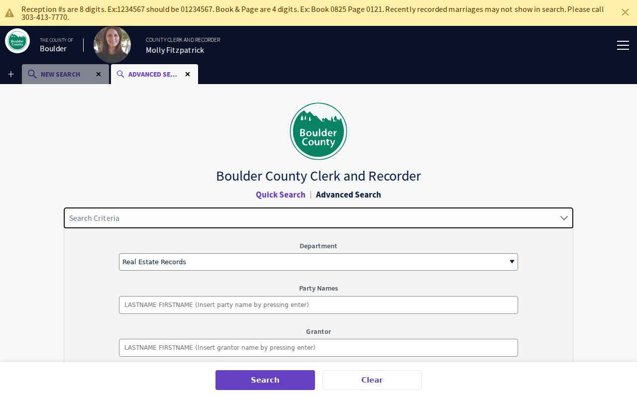
The advanced search screen is a field map, not a promise that every historic image is online or complete.
- Search the current owner as Grantee and narrow by the parcel's legal description or subdivision.
- Open the result and record the Reception Number, Book/Page, date, instrument type, parties, consideration, references, and exact legal description.
- Search the seller as Grantee, using spelling variants and the legal description when names are abbreviated.
- Repeat backward until the chain reaches an estate, trust, entity, public trustee, sheriff, or court deed.
- Branch to entity filings, probate or ROA requests, releases, assignments, plats, newspapers, or the city property ledger as the record requires.
- Use the Recorder counter, phone, or mailed copy route when the online trail stops or an image needs certification.
- Grantor and grantee
- The Grantor conveys or signs an interest; the Grantee receives the interest named in the instrument.
- Chain of title
- The linked sequence of recorded instruments that shows how an interest moved from one party to the next.
- Legal description
- The parcel wording used by the instrument, often more stable than a street number when names or roads change.
- Reception number
- The recorder's identifying number for a filed instrument, used with Book and Page to request the record.
Boulder Previous Residents and Portal Gaps
On August 18, 2026, the live Boulder County PublicSearch display showed a recorded-date range of 06/26/1860 through the current date, with a verification notice around 08/12/2026. The advanced state showed a nearby verification date. Those displays are useful inspection notes, not a completeness guarantee. The research did not verify a separate deed-book, index, or image cutoff, and it did not prove that every instrument from the displayed start is searchable.
The county's 2024 recording-platform migration changed the access mix. The new platform reported same-day images, removed digital view fees, added digital certified copies, and recorded 41,825 documents in 2024. Current service details still move, so save the inspection date beside any portal claim. When the index or image is uncertain, the Recording Division counter at 1750 33rd Street, Suite 201, the 303-413-7770 phone route, and the county's copy process remain the fallback.
The Boulder County PropertyAlert route shows how a name-based alert can protect a forward-looking research trail. Enter a last name, first name, variants, or trust name, then review false positives with care.
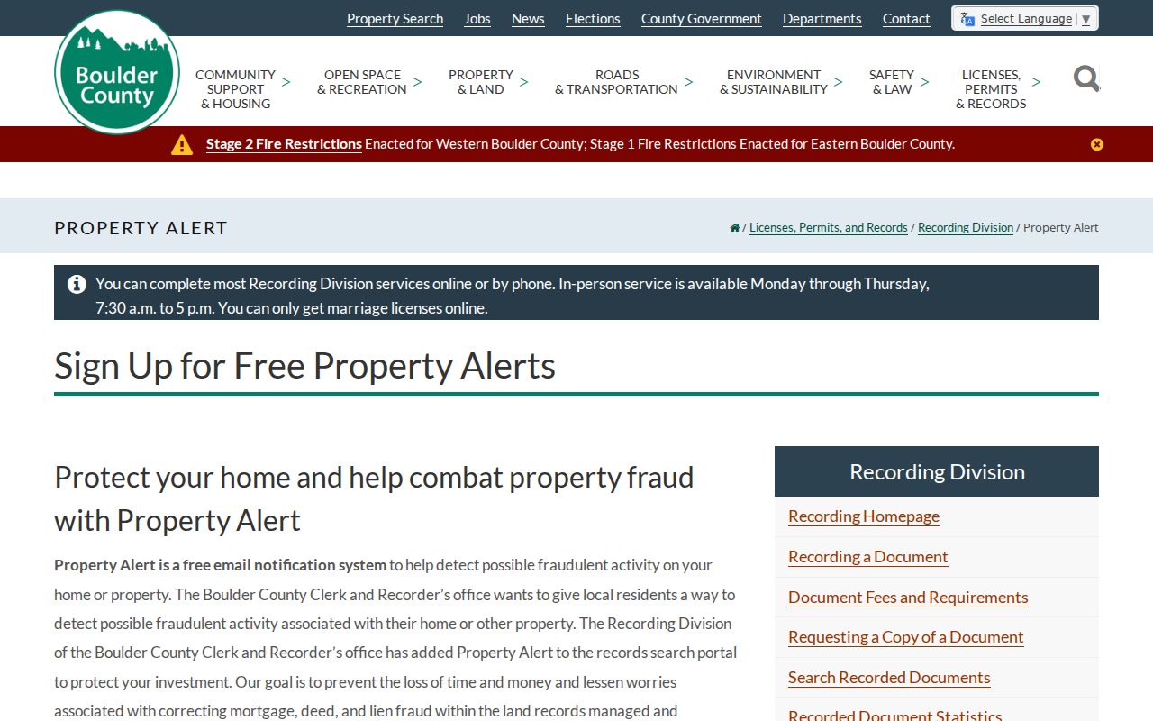
PropertyAlert is a free notification service for future filings, not a substitute for the older deed chain.
Copy Routes for Boulder Records
A backward trail often reaches a point where a watermarked view is not enough. Boulder County permits online discovery followed by phone or mail copy requests. A mailed request should state the requester name, phone, mailing or email address, document type, Reception Number or search names, copy type, payment, and postage or a stamped envelope. The listed letter-copy charge is $0.25 per page, certification is $1 per document, and the July 1, 2025 recording fee is $43 per document. A certified marriage record has its own fee, while one to three DD-214 copies are free.
The Boulder County copy-request instructions set out the online, phone, and mail routes and the postage tiers.
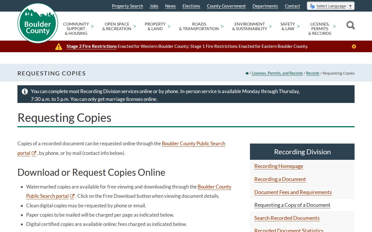
Use the instrument identifier whenever possible. A name-only request can find the wrong person, while a Reception Number anchors the copy to the deed-chain step.
For city-held context, Boulder Central Records at 1777 Broadway is a separate custodian. The office accepts Colorado Open Records Act (CORA) requests from anyone, lists a three-working-day response target excluding the receipt day, may use a seven-working-day extenuating extension, and lists $41 research and retrieval after the first hour plus $0.25 paper copies. City records can add deeds, easements, contracts, ordinances, annexation files, or land-use context, but the county Recorder remains the source for the recorded real-estate instrument.
The City of Boulder Central Records route helps separate a city-held copy or transaction file from a county-recorded deed.
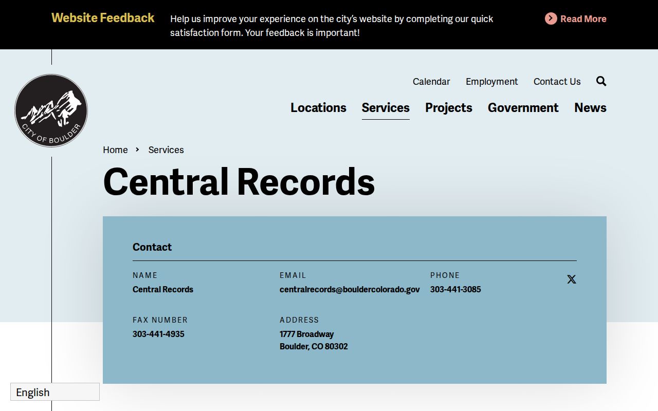
That custodian split prevents a city archive search from being mistaken for a complete title search.
Carnegie’s Boulder House History Help
Carnegie Local History is the best local fallback when a deed chain names an earlier owner but does not explain the household. Staff ask for names, dates, eras, places, and possible sources, then research for up to one hour on a topic. The room is noncirculating. First ten copies are free, followed by $0.10 for a black-and-white single-sided copy or $0.20 for color. Staff can mail or email up to ten copies or scans; larger requests are handled in person.
The Carnegie Local History research policy is the verified house-history service. Boulder Genealogical Society volunteers also work at Carnegie for $10 per hour, plus copies, postage, and parking. No separate official “research your house” guide was located, so ask for the directory, newspaper, Sanborn, permit, cemetery, and municipal ledger sources that fit the address.
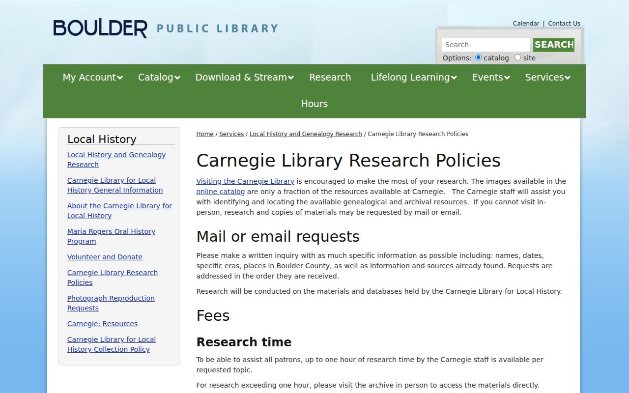
The policy makes the access channel clear: send a narrow question first, then plan an in-person visit when the source set is larger.
Boulder Previous Residents: Directories and Census
Owners are only half of a house history. The people who lived at an address may appear in a name index, a street or criss-cross section, a census schedule, a newspaper, or a cemetery source. The verified local directory layer includes Ella M. Travis indexes from 1892-1911, catalog references from 1906-07 through 1974, and NARA reels for 1926, 1928, 1930, and 1932. The Boulder city directory collections belong on the historical shelf, while the backward address trail pairs them with the parcel.
Use a directory and census as a process, not as duplicate proof. A directory can show a printed address and occupation. A census can show age, relationship, and a household at an enumeration point. Nearby communities on a reel or an old city label can make a household look as if it moved, so keep geography in the notes.
- Choose the nearest confirmed directory year and copy the exact name, address, family notation, and status marks.
- Find the nearest released census year, starting with the 1885 Colorado state census for an early Boulder clue.
- Compare street, county, occupation, age, spouse, and children rather than the surname alone.
- Check the 1930 enumeration district and the directory's nearby-community list before drawing a city boundary conclusion.
- Use an obituary, cemetery entry, permit, or newspaper page to explain a move, death, business change, or missing year.
A directory disappearance may mean a move, death, omission, or an unverified gap. A census absence has its own enumeration and access limits. Keep both conclusions modest.
Lawful house history. Previous-resident research is suited to family history, property history, and personal curiosity. Do not use a name or address trail to stalk, harass, intimidate, or track a living person.
Boulder Sanborn Maps for House History
Sanborn maps date the building rather than the owner. Boulder’s map collection covers 1883-1931 and records building outline, size, shape, construction, windows, doors, street width, property lines, use, and house or block numbers. A map can show that a former number belonged to the same block, that a structure changed, or that a business occupied a site before a directory entry appears.
The Boulder Sanborn insurance-map collection is a map set, not a resident index. Black-and-white shelf photocopies are held in the Real Estate section, and the digital catalog gives the collection route. Pair a map sheet with a deed legal description, city permit, and directory address. A footprint change can date construction or alteration, but it does not prove who slept or worked there.
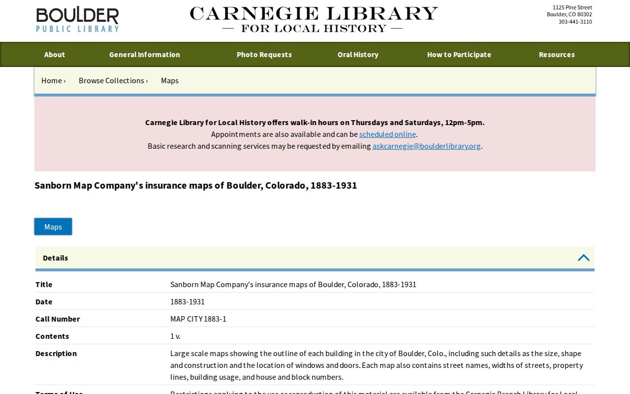
Use the street, block, and house number on the sheet to test an address bridge before searching another directory year.
Boulder Address Renames and Numbering
Address continuity is a local research problem in Boulder. The Mapleton Hill source identifies an 1888 plat in which Hill Street became Mapleton and historic 4th became 6th; the old plan did not preserve every present 7th through 9th reference. A directory entry using Hill or 4th can therefore point to a current street that looks different in the assessor map.
Water Street became Canyon Boulevard under Ordinance 2564, published October 2, 1962. Search both names in newspapers, directories, permits, plats, and city records. Mountain addressing adds another trap: the physical number is a mile point from the start of the road, and green plates plus the emergency atlas help locate a remote address. A Boulder mailing city can also describe an unincorporated pocket, so verify the parcel jurisdiction rather than relying on the postal label.
The Mapleton Hill historic source and the Water Street to Canyon Boulevard record supply two distinct bridges for old address forms.
Closing a Boulder Previous Residents Trail
End a house history with a source that answers the remaining question. An obituary may name a spouse, parent, funeral home, cemetery, former address, or phrase such as “late of.” Columbia Cemetery’s ledger, index, and published history can connect a burial to directories, census series, mortuary books, city applications, recorder material, estate files, newspapers, and family histories. Probate can add heir names and a filing address, but the docket or requested file controls what is actually available.
The courthouse story is another reason to mark uncertainty. Boulder’s 1882 courthouse burned on February 9, 1932, and the official research did not identify which resident, deed, or court groups were lost. If a chain stops, ask the custodian, Carnegie, or the court for the surviving route rather than filling the gap with a guess. A complete conclusion can be: recorded owner found, household clue found, building date found, and one year still unverified.
Previous residents are best understood as a set of dated records, not as a single final list. Save the address form, parcel, document number, page image, directory citation, and reason for every inference. That practice keeps family history useful while respecting living people and the limits of public records.