
Boulder Neighbors: Start With the Block
A block lookup works best when each source has one job. County Property Search identifies parcels and links them to recorded owners, mailing fields, and map layers. City eMapLink adds city-side reports. The Recorder supplies legal instruments that explain shared land or access. Voter products are time-stamped and restricted, while neighborhood services and historical collections provide community context rather than a private member roster.
| Source | What It Shows About a Block | Access |
|---|---|---|
| County GIS and Property Search | Parcel boundaries, adjacent accounts, owner, situs, mailing reports, and county layers | Public map click or draw tools, print, and CSV; no household list |
| City eMapLink | City parcel popup, Property Report, Enforcement Summary, account, parcel, owner, subdivision, and map layers | Public address map with city scope |
| Recorder plats and instruments | Shared legal geometry, rights, easements, covenants, party walls, and recorded parties | PublicSearch by legal description, subdivision, or document type; counter and copy requests |
| Assessor data download | Owner, mailing address, building, land, value, account, and parcel rows across selected property | Daily download; deduplicate and verify because the county gives no warranty |
| County voter products | Time-stamped residential or mailing address, status, party, precinct, and participation fields | Paid or requested product with certification, windows, and exclusions |
| Neighborhood Services and NECO | Area name, coordinator, engagement route, and neighborhood context | Public contact and map routes; no public member roster |
| Police neighborhood layer | Geographic police contact area and agency route | Public ArcGIS layer; not a resident roster |
| Directories, newspapers, Sanborn, and cemetery | Dated occupants, buildings, family links, and block history | Carnegie, BGS, digital indexes, microfilm, and local source inspection |
An owner is not automatically an occupant, and a mailing address may point to a PO Box, representative, business office, or another parcel. The map can show an adjacent lot without proving who is inside a unit. Guests, household members, utility customers, delivery records, and protected people are not parcel fields. The useful question is which records place neighboring parcels in the same block. The strongest Boulder neighbors work comes from a dated parcel chain, not from treating one owner name as a complete block list.
Click Boulder Parcels Around an Address
The Boulder County Property Search and GIS viewer accepts several ways to locate a starting parcel. Address and owner name are the natural first fields, but a whole-block pass can use street name, subdivision, account, parcel, or S-T-R. S-T-R means Section, Township, Range; the documented format is 5-2N-69W without a leading zero. The map and report should be saved with the search date.
| Field or tool | Use for a Boulder block |
|---|---|
| Address | Locate the known situs and check for multiple units or records. |
| Owner Name | Find current indexed owners, including spelling variants, trusts, or entities. |
| Street Name | Collect parcels along a street segment before narrowing to one block. |
| Subdivision | Separate lots that share a legal development or plat. |
| Account and Parcel | Preserve stable identifiers for reports, maps, and later Recorder searches. |
| S-T-R | Search by Section, Township, Range using the county format. |
| Draw tools | Use Polygon, Rectangle, Circle, or Line to select intersecting parcels. |
| Coordinate | Locate by State Plane Feet, Decimal Degrees, DMS, DD Minutes, or UTM. |
| Print and CSV | Print a report or export selected rows, then remove duplicate owner and address entries. |
City eMapLink adds the city parcel report and enforcement summary, while county GIS adds parcels, zoning, floodplain, precinct, open space, emergency, road, and wildfire layers. County GIS staff can be reached through the public-data contact route at 2045 13th Street. The two maps are complementary. A city map does not replace the county parcel record, and a county parcel does not by itself define a neighborhood.
The City of Boulder planning GIS service shows the city-side layer system used for parcel and neighborhood context.
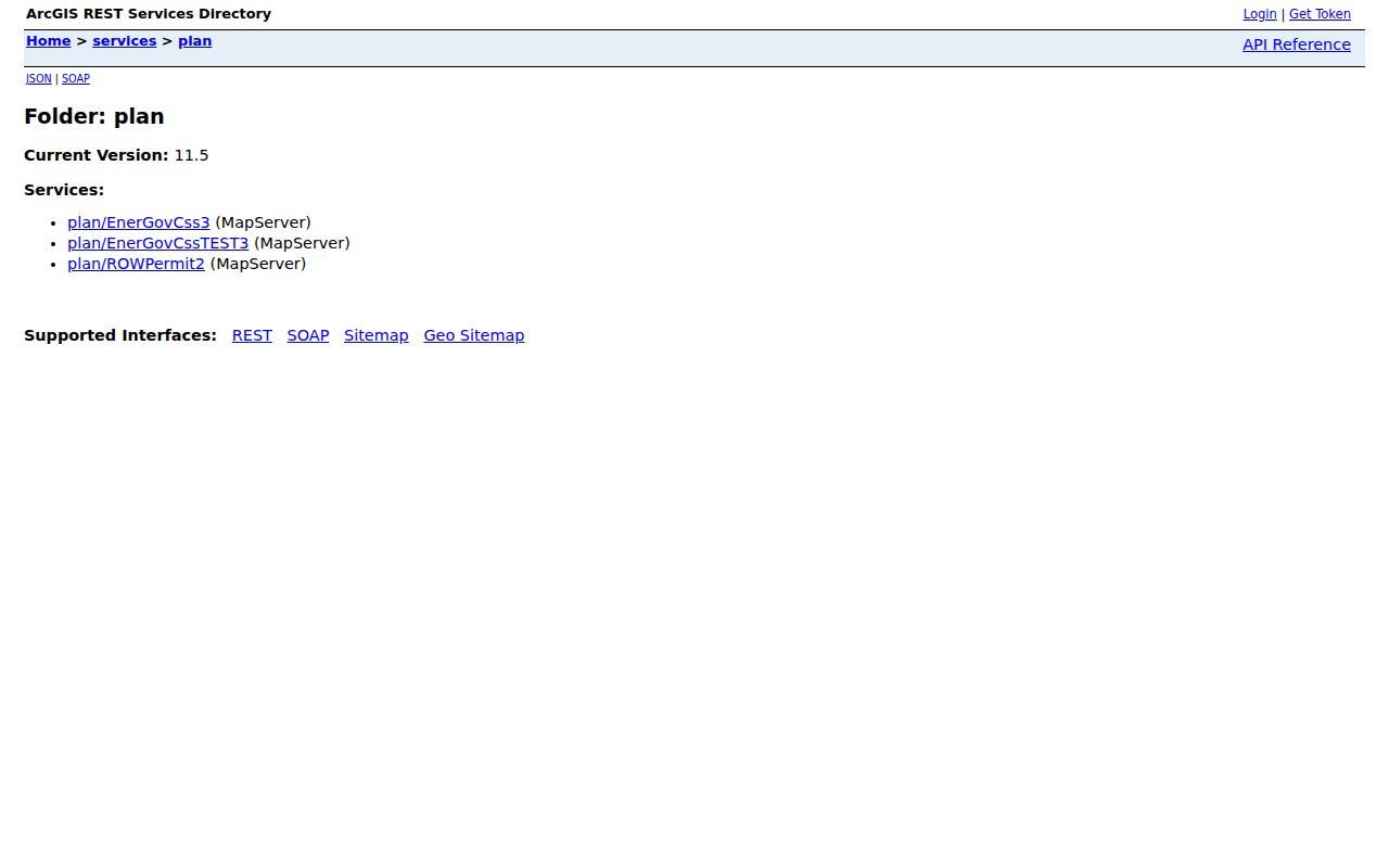
The planning-layer image is useful for separating map context from the people question. It displays geographic layers, not a list of residents.
Map Boulder Neighbors Parcel by Parcel
Adjacent-parcel work is a manual walk outward from one known address. A Boulder neighbors lookup should confirm the starting parcel first, then inspect each lot that touches it. Common boundaries, alleys, road rights-of-way, condominium units, and account splits can change what appears to be next door. A selected shape is a geographic result, not a named neighbor report.
- Locate the anchor. Enter the address or parcel in County Property Search and confirm account, parcel, situs, subdivision, and map position.
- Zoom to the block. Click every parcel that borders the anchor, including lots across an alley or road where the question concerns the immediate radius.
- Capture the fields. Save owner name, mailing address, situs, account type, parcel number, legal-description summary, and report date for each parcel.
- Select a shape when needed. Use Line or Rectangle for a street segment, or Polygon or Circle for a boundary-like group. The county tool returns parcels intersecting the selected shape.
- Cross-check the city layer. Open eMapLink for city-side reports, then compare CityLimits, Annexation, and parcel layers before calling two map labels the same area.
For a complete named-street chain, switch to the Boulder street directory rather than treating the adjacent-parcel method as a full street roster. The block method owns the radius around one address, with each neighboring parcel checked on its own.
Boulder Plats Explain Shared Edges
Recorder documents can explain why a block is shaped the way it is. Search Boulder PublicSearch by subdivision, legal description, party, document type, or OCR for a plat, easement, covenant, right of way, party-wall agreement, deed, or release. A shared instrument may name several parties or lots, but those names are instrument participants, not a current list of neighbors.
Online index and watermarked views are useful for a first pass. When an image is absent or an older instrument needs a copy, the Recording Division counter, phone route, and mail request remain available. A copy request can identify the requester, document type, reception number or party names, copy type, payment, and postage. The Clerk records qualifying instruments but does not verify the truth or legal effect of what was filed.
- Parcel
- A mapped unit of land tied to an account and parcel identifier. Several units or structures can sit within one address context.
- Legal description
- The lot, block, subdivision, or other land description used to identify the recorded property more precisely than a street label.
- Plat
- A recorded map that lays out lots, lines, streets, easements, or other land relationships.
- Situs address
- The physical parcel or building address. It can differ from the owner mailing address and from a historical directory address.
Boulder Voter Files By Address
GoVote is not a block-browse tool. It requires a person’s First, Last, ZIP, and full Birthday, so it can test one identity match but cannot return all registered voters near an address. County products can contain residential and mailing address, party, status, birth year, gender, phone if provided, precinct or district, and time-specific participation fields, depending on the product.
The VR-011B product is monthly and includes voter ID, name, addresses, registration and effective dates, party, status, gender, and birth year. CE-068 runs from 22 days before an election through 10 days after and can include vote method, ballot sent or received, voted party, in-person date, and issuing location. EX-002 is monthly election history. CE-077 is an hourly rejected or cure product from 19 days before an election through day 8 after. County and state request routes require a product choice, requester certification, payment, and the current use rules.
SSN, driver-license number, electronic signature, email, confidential or preregistered records, and how someone voted are excluded. A block analysis should use parcels and GIS first. For neighbors research, the product date and certification matter as much as the address field. A voter-file output is a controlled, dated product, not an unrestricted public roster, and a missing voter result may reflect a protected record or list maintenance.
Boulder Rolls and Commercial Neighbor Tools
Official records and commercial neighbor-search categories are not interchangeable. Official sources have a named custodian, a field definition, and a request rule. Commercial tools may combine public feeds, marketing data, address history, or user-submitted data into a paid report. They can be stale, duplicate a name, or merge separate households. Treat any commercial result as a lead that needs a county, city, court, library, or state check.
| Source Type | Useful Signal | Boundary to Keep |
|---|---|---|
| County GIS and assessor roll | Parcel, owner, mailing or situs address, buildings, value, and map position | Does not show every person at the address or prove physical presence |
| County voter product | Dated public registration, address, party, status, precinct, and participation fields | Requires product compliance; excludes protected data and ballot choices |
| Historical institution | Dated directory, newspaper, cemetery, Sanborn, or civic record clue | Collection gaps and old boundaries limit current conclusions |
| Commercial neighbor-search category | Possible lead from combined feeds or address history | Not a custodian record; accuracy, currency, and lawful-use limits still apply |
The official route is slower when a record needs a request or a date check, but it gives a better way to correct an error. For a personal question about the block, compare two official sources with different purposes rather than repeating the same name through several commercial feeds.
Boulder Neighborhood Contacts and Associations
Neighborhood Services is the city’s public connection point for engagement and support. The office lists NeighborhoodServices@bouldercolorado.gov and 303-441-1895, along with Inquire Boulder and community resources. It can route a question or help identify the right area, but the public contact path is not a member directory.
The Boulder Neighborhood Services contact page describes the city route for neighborhood connections.
The contact image belongs at the civic layer of a block search. It helps a resident find an engagement route without turning a public office into a private roster.
City HOA resources point toward Colorado DORA materials and explain how associations can be found by their own public channels. A citywide HOA member list, block-watch roster, congregation roster, and private club directory were not located. The published association name or coordinator route is the proper starting point.
The Boulder HOA resources page provides the association-resource route.
The HOA resource image reinforces the boundary between public association guidance and a private membership list.
Neighborhood Services
303-441-1895
NeighborhoodServices@bouldercolorado.gov
City engagement and support route
NECO Map
Address-based neighborhood and coordinator route
Use the map to identify the area, then follow its contact path.
Named Associations
Goss Grove, Martin Acres, Ponderosa, Mapleton, and University Hill appear in city materials. Public member rosters were not located.
HOA Resources
City resource hub and Colorado DORA guidance. Association records and contact rules vary by organization.
NECO Maps Boulder Neighborhoods
The NECO map lets an address identify a neighborhood or NECO Pass area and its coordinator contact. It is a transportation and engagement layer, not a census of households. Boulder names can overlap across sources, so keep the NECO label beside the parcel, subdivision, historic district, ZIP, and police area instead of using one name as a universal boundary.
The NECO neighborhood map is the official address-based route.
The map image shows the coordinator and neighborhood layer that can help a block connect with local civic activity. It does not expose a public list of members.
City materials name East Aurora, Columbine, East Ridge, Fairview, Goss Grove, High and Sunset, Mapleton, Park East-Monroe, University Heights, University Hill, West Pearl, Whittier, and Chautauqua. These labels come from different city programs and should not be treated as interchangeable with a ZIP or a legal parcel boundary.
Boulder Police Areas and City GIS
The official police neighborhood service is an area and contact layer. It can identify the agency contact tied to a geography, but it is not a resident list and does not prove who lives on a block. The city planning GIS service adds AddressPoints, Annexation, CityLimits, Parcels, Zoning, Historic, Subcommunities, Schools, and SpecialDistricts layers.
The Boulder Police neighborhood contact layer is the official area route.
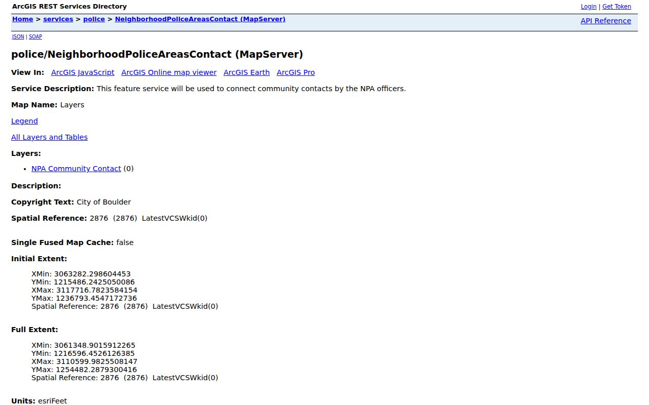
The police-area image is useful for finding the right agency contact, not for finding names beside a parcel.
Annexation can change the relationship between a city label and county records. Ordinance 8734, approved February 19, 2026, annexed 24.04 acres at 5399 Kewanee and 5697 South Boulder Road plus 55th Street right-of-way. Compare CityLimits and Annexation layers with the parcel situs and postal city when a block sits near an edge.
Boulder Address Quirks Shape Neighbors
Mapleton Hill is a useful historical trap. Its 1888 plat changed Hill Street to Mapleton and 4th to 6th, while old numbering does not map one-for-one onto current 7th through 9th streets. Water Street became Canyon Boulevard by Ordinance 2564 in 1962. A directory, permit, or deed can therefore use a former name while the modern parcel map uses another.
Mountain addresses follow a different rule. Boulder County describes mile-point street addressing for emergency response, so 1138 Poorman Road means 1.138 miles from Sunshine Canyon Drive rather than a conventional urban block number. Even numbers are on the right and odd numbers on the left, and green plates are meant to remain visible. Check the county mountain-address route and emergency atlas before deciding which properties are adjacent.
ZIP and postal city add another layer. Gunbarrel and Gold Hill can use Boulder postal labels while their county or city geography differs. A block result should compare the USPS address, parcel situs, ZIP, CityLimits, Annexation, subdivision, and legal description.
Columbia Cemetery and Boulder Block History
Columbia Cemetery can add a human history layer when a former neighbor is no longer visible in current records. The cemetery holds nearly 6,500 interred people on 10.5 acres, with a burial index, map, eight-volume history, source abbreviations, and “Section X” entries for unknown locations. Lost maps, medical-school remains, mortuary books, burial applications, newspapers, directories, census records, and recorder or estate files all appear in the source crosswalk.
A cemetery no-result is not decisive. Search the eight-volume history, the glossary, the Daily Camera collection, and Carnegie or Boulder Genealogical Society indexes before closing a historical block question. These sources can connect a name to a family, street, business, or civic group, but they are dated evidence. They should not be used to infer a current neighbor.
Privacy Rules for Boulder Neighbors
Parcel maps and public rolls have a boundary. They can show land, recorded ownership, public registration fields, or an area contact, but they do not open utility customer data, delivery records, private membership lists, household details, or DMV information. Colorado’s Address Confidentiality Program and protected-voter rules create intentional gaps. A missing name may reflect a protection or restriction rather than an absence from Boulder.
Use a source correction route when a parcel, voter, map, or contact field is wrong. Use the custodian’s request process for a held record, and do not republish a time-stamped voter product as a neighborhood roster. The Colorado anti-stalking statute, C.R.S. §18-3-602, and harassment statute, C.R.S. §18-9-111, set limits on monitoring, threats, intimidation, and repeated unwanted contact.
Lawful use. Boulder neighbors research is appropriate for getting to know a block, reconnecting, family history, civic curiosity, or personal safety awareness. Do not use addresses or names to watch, harass, intimidate, or harm anyone, and do not publish a private person’s contact details.